

What Is Atlas?
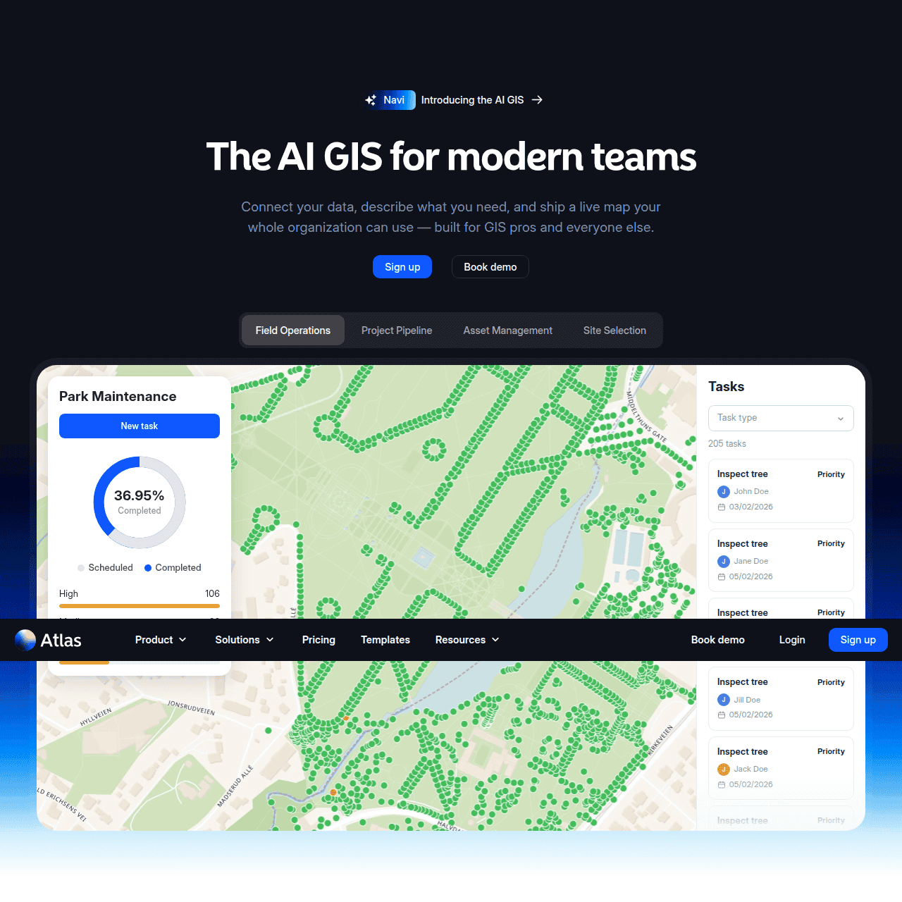
Atlas is an AI GIS platform designed for modern teams that need to upload, analyze, and visualize spatial data quickly. Its AI agent, Navi, lets users describe what they want in plain language and automatically builds maps, dashboards, and workflows.
The platform unifies data from spreadsheets, GIS files, APIs, forms, and field collection apps into a single, interactive map. Advanced styling, symbology, and analysis tools help users explore geographic patterns, calculate metrics, and surface insights.
Collaboration, automation, and sharing features make it easy to publish web-ready maps, embed them into applications, and coordinate across teams on location-based projects. By reducing GIS complexity, Atlas helps organizations move faster from raw geospatial data to clear, actionable decisions.
Quick Snapshot
Atlas streamlines the entire GIS workflow by combining AI-assisted map building, spatial analysis, and collaboration in one browser-based platform. Teams can turn scattered location data into decision-ready, shareable maps in a fraction of the time.
- Works on
-
- Web
- API
- Pricing Model
- Freemium
Starting at $29/month — Atlas offers a free account plus paid Starter, Pro, Team, and Enterprise plans priced per seat, starting at approximately $29/month. Higher tiers add advanced collaboration, automation, and enterprise features. - Fits on
- Affiliate Program
- We could not identify an affiliate program.
- API Availability
- Atlas has an API available.
- Key Features
-
- Turn plain language into interactive maps fast
- Unify scattered geospatial data in one platform
- Collaborate and share decision-ready spatial insights
- Audience
-
- energy developers
- asset managers
- field operations teams
- urban planners
- real estate analysts
- infrastructure analysts
- public sector organizations
- GIS professionals
- data analysts
- location-based product teams
- URL
- https://atlas.co
Screenshot

Key Features of Atlas
AI map assistant
Use Navi, the built-in AI agent, to describe maps, analyses, and workflows in natural language and automatically generate interactive visualizations and dashboards.
Multi-source data import
Import and unify spatial data from spreadsheets, GIS files, APIs, online forms, and field collection apps into a single, consistent map view.
Advanced styling tools
Apply rich styling and symbology options to highlight patterns, categories, and metrics across your geospatial layers.
Spatial analysis
Run spatial analysis workflows to explore geographic relationships, calculate metrics, and surface key insights from your location data.
Collaboration and sharing
Collaborate with teammates on shared maps, then publish web-ready maps or embed them into internal tools and public applications.
Workflow automation
Streamline geospatial workflows by automating data updates and map generation so teams can focus on decisions rather than manual GIS tasks.
Browser-based GIS
Access powerful GIS capabilities directly in the browser without installing traditional desktop GIS software or managing complex infrastructure.
API integration
Connect Atlas with external systems via APIs to keep geospatial data and maps in sync with your broader data stack.
Use Cases for Atlas
Renewable site planning
Energy developers can quickly evaluate potential sites by mapping constraints, infrastructure, and resource data in one place, enabling faster and more informed project decisions.
Asset and field operations
Asset managers and field operations teams can visualize asset locations, plan fieldwork, and track updates on shared maps, improving coordination and reducing time in spreadsheets.
Urban and infrastructure planning
Urban planners and infrastructure analysts can overlay zoning, transportation, and demographic data to explore scenarios and communicate plans with interactive, web-ready maps.
Real estate site analysis
Real estate analysts can combine property, market, and environmental layers into a single map to identify opportunities and risks across portfolios.
Public sector mapping portals
Public sector organizations can publish accessible web maps and dashboards that help communicate programs, projects, and spatial data to internal teams and the public.
Location-based product insights
Location-based product teams can connect APIs and event data into Atlas to visualize user activity, coverage areas, or service regions on dynamic, shareable maps.
Frequently Asked Questions
What is Atlas and who is it for?
Atlas is an AI-powered GIS platform for teams that need to build maps, run spatial analysis, and manage geospatial workflows. It is designed for energy developers, asset managers, field operations, urban planners, real estate and infrastructure analysts, public sector organizations, GIS professionals, data analysts, and location-based product teams.
Do I need GIS experience to use Atlas?
No, Atlas is built to be accessible to non-experts. Its AI agent, Navi, lets you describe what you need in plain language, and the platform handles much of the complexity of traditional GIS tools.
What types of data can I import into Atlas?
You can import spatial data from spreadsheets, GIS files, APIs, online forms, and field collection apps. Atlas then unifies these sources into a single, interactive map for analysis and visualization.
Can I share or embed maps created in Atlas?
Yes, Atlas supports sharing interactive maps with collaborators, publishing web-ready maps, and embedding them into internal applications or public-facing sites.
How much does Atlas cost?
Atlas offers a free account and paid plans priced per seat, starting at approximately $29/month. Higher tiers provide enhanced collaboration, automation, and enterprise capabilities.
Does Atlas offer an API?
Yes, Atlas provides an API so you can integrate geospatial data and maps with your existing systems and workflows.
Is there an Atlas affiliate program?
No, Atlas does not currently list an affiliate program or commission structure.
Atlas · Our Verdict
Atlas stands out by combining a modern browser-based GIS with a genuinely useful AI assistant, reducing the barrier to doing real spatial analysis. For teams that juggle multiple data sources and lack deep GIS expertise, its natural language workflows and collaboration features can substantially shorten the path from raw data to actionable maps. It is particularly strong for organizations that need to share interactive, decision-ready maps across technical and non-technical stakeholders.
Atlas ·
-

Hayden AI
Vision AI that keeps city streets moving safely
Research & Data AI - Freemium
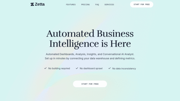
Zetta
Automated business intelligence and AI insights in minutes
Research & Data AI - Subscription
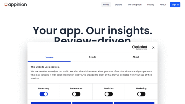
Appinion
Turn app reviews into product-ready insight
Sentiment Analysis - Subscription
Querri
AI data analyst for everyone, powered by your data.
Research & Data AI - Subscription
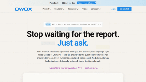
OWOX Data Marts
Hire your AI data analyst and trust every number.
On-Premise AI Analytics - Your Ad Here
- Freemium
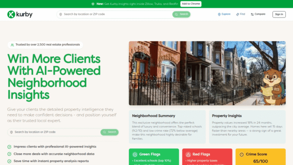
Kurby
AI-powered neighborhood intelligence for real estate
Market Research & Analysis -
Codiga
Customizable static code analysis that follows you everywhere.
AI Developer Tools