


What changed
Google appears to have paused the web-based AI image generation feature in Google Earth less than a day after launch.
The feature had been positioned as a way to reimagine Earth imagery from text prompts. That includes benign uses such as historical reconstructions, educational visuals, or stylized geographic explainers built on top of Earth imagery.
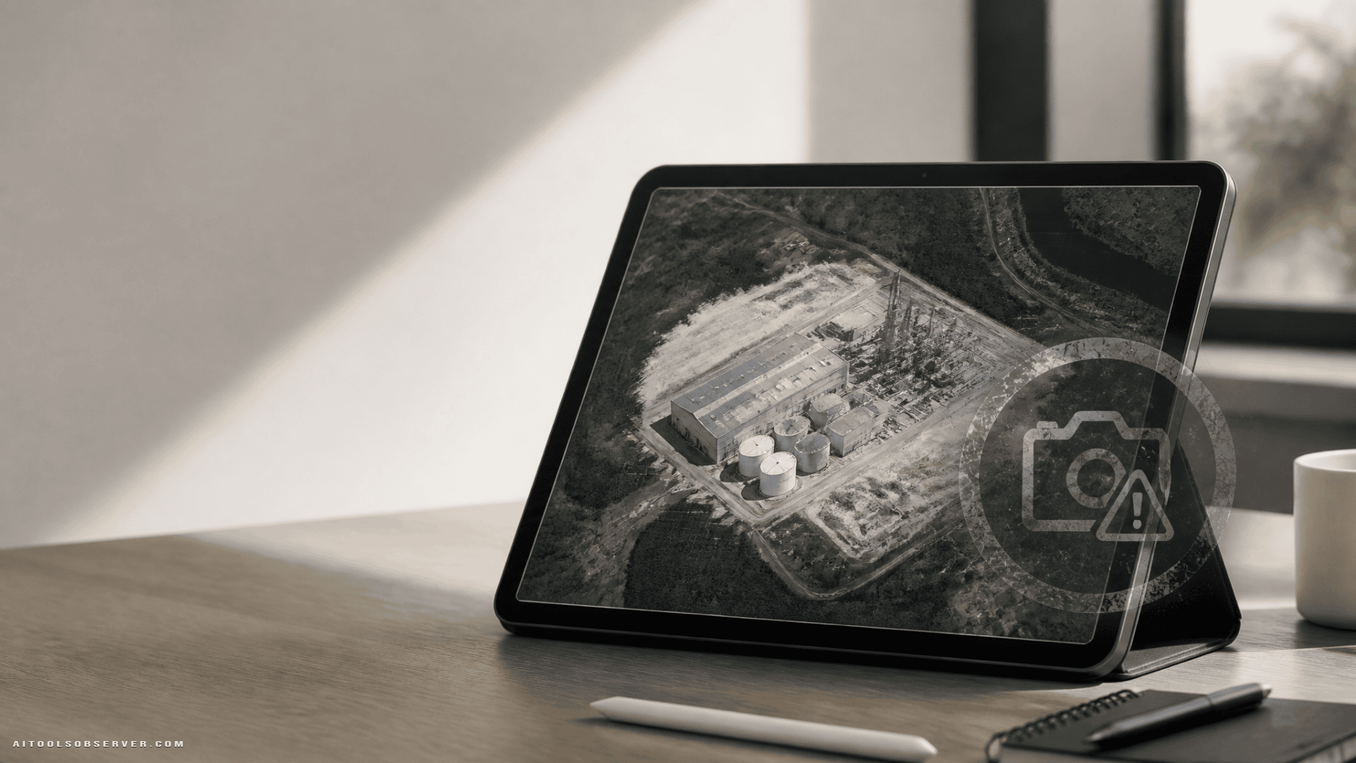
The problem emerged when users showed that the same system could also generate convincing but false scenes tied to real-world geopolitical topics, including fake imagery of a supposed nuclear site in Iran.
Why this became a serious problem so quickly
Google Earth is not a blank creative canvas in the way an image generator typically is. It is widely used as a reference layer for the physical world.
When synthetic imagery is anchored to familiar maps, satellite views, and places people recognize, the output can inherit credibility from the product around it. That makes misleading content more persuasive, even if the generated image was never intended to appear as part of the main shared Earth experience.
This is the core guardrail failure: the system did not need to publish false imagery directly into Google Earth’s public layer to create harm. A screenshot was enough.
How the feature was exploited
Based on the available reporting, users were able to prompt Google Earth’s AI tooling to create fabricated visuals tied to sensitive subjects. Examples reportedly included refugees near the Mexican border and a fictional Iranian nuclear facility.
These are not edge-case jokes. They sit squarely in categories where visual misinformation can influence public opinion, media cycles, and political interpretation.
That is why this incident matters beyond one product update. It shows how quickly “creative geospatial AI” can turn into “synthetic evidence.”
The real issue: trusted interfaces amplify falsehoods
A standalone generated image always carries some skepticism. A generated image that appears to come from a mapping or Earth-observation tool carries much less.
This is the same reason manipulated charts, fake dashboards, and fabricated UI screenshots spread so effectively. People do not only evaluate the image. They evaluate the container.
In this case, the container was Google Earth, a product associated with factual location data. That trust made the false outputs more believable than they might have been elsewhere.
Why watermarking did not solve it
Google reportedly relied on SynthID watermarking to mark AI-generated imagery. In theory, that helps identify synthetic content. In practice, this incident highlights a familiar weakness: watermarking is fragile once content leaves the original system.
A screenshot, photograph, or screen recording can weaken or strip the practical value of an invisible watermark. That turns provenance from a platform-level control into something much easier to bypass in everyday sharing.
There is also a distribution problem. Even if a watermark exists, most viewers on social platforms do not inspect provenance metadata before reacting, reposting, or embedding an image in a story.
So the limit is not just technical. It is behavioral.
What this says about guardrails
The rollback suggests the original safety design was not strict enough for the context in which the model operated.
For a geospatial product, guardrails likely need to do more than block obvious abuse terms. They may need to account for:
- sensitive locations
- military or nuclear infrastructure
- border incidents and migration
- disaster scenes
- elections, protests, and conflict zones
- prompts that imply documentary truth rather than illustration
That is a harder problem than ordinary image moderation. The system must understand not just whether a prompt is unsafe, but whether the output could be mistaken for evidence.
The product tradeoff Google now has to manage
There is a legitimate use case for AI inside mapping and Earth visualization tools. Historical reconstruction, urban planning concepts, tourism explainers, classroom visuals, and annotated geographic storytelling can all be useful.
But the same realism that makes those workflows attractive also raises the misinformation ceiling.
Google now faces a familiar platform choice:
- keep the tool broad and accept abuse risk,
- sharply narrow the feature to low-risk use cases,
- or add enough friction and labeling that misuse becomes less convincing and less shareable.
For Earth imagery, the third option may still be difficult. If the output can be screenshotted and detached from the original interface, safety controls inside the product only go so far.
Why this matters for AI tool buyers and teams
For founders, marketers, researchers, and enterprise teams, this is not just a Google story. It is a procurement lesson.
If a vendor sells generative AI for trusted-data environments, you should ask sharper questions before adoption.
Questions worth asking
- Is the output clearly separated from factual source material?
- Can generated content be mistaken for primary evidence?
- What happens when users export, screenshot, or repost the output?
- Are provenance signals durable outside the original platform?
- Are guardrails context-aware, or only prompt-based?
- Does the tool restrict high-risk domains such as health, law, elections, conflict, or critical infrastructure?
These questions matter most when AI is embedded inside products people already treat as authoritative.
A broader warning for geospatial AI
Geospatial AI is powerful because it combines context, place, and visual realism. That same combination also makes it a high-risk category for synthetic misinformation.
A fake chatbot answer is one thing. A fabricated image tied to a real coordinate, a recognizable terrain pattern, or a known facility is more dangerous because it feels verifiable at a glance.
This is where many AI safety discussions still lag. The model is only part of the problem. The surrounding interface, data source, and brand trust can increase the persuasive force of bad outputs.
What to watch next
The key question is not whether Google can relaunch the feature. It is whether it can relaunch it in a form that remains useful without allowing documentary-looking fabrications of sensitive places and events.
Possible fixes could include narrower prompt categories, stronger on-screen labeling, hard blocks around geopolitical topics, or limiting outputs to clearly stylized formats rather than photorealistic reinterpretations.
But any future version will be judged on one practical standard: can users still turn it into believable fake evidence with minimal effort?
The useful takeaway
If an AI tool sits on top of trusted real-world data, treat its safety claims with extra skepticism. In these environments, watermarking is not enough, “not publicly shared by default” is not enough, and ordinary moderation is not enough.
The smarter decision framework is simple: the closer a tool gets to evidence, maps, records, or reality, the higher the bar for guardrails should be before you trust it in production.













Comments (0) No comments yet
Want to join this discussion? Login or Register.
No comments yet. Be the first to share your thoughts!